Stephen Volz
Assistant Administrator, National Environmental Satellite, Data, and Information Service (NESDIS)
About Our Arctic Work //
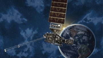
NOAA’s National Environmental Satellite, Data, and Information Service provides access to over 30 years of ice, ocean, and atmosphere properties from satellites, as well as data from over a century of weather station measurements, ocean transects, paleoclimate records, and other types of earth system information. Real-time satellite data are critical for accurate forecasting and warning of events, such as rapid sea ice formation and frequent storms that pose major hazards to life, property, and economic activities in the Arctic. Sea ice forecasts, primarily based on satellite and other data, are important for many stakeholders to operate in the marine environment, including the U.S. Coast Guard, Arctic coastal communities and Alaska Native populations, the oil and gas and fishing industries, first responders to emergencies, and scientific researchers. NOAA works to maintain real-time access to national and international satellites to fill critical gaps in observations and integrates satellite data into regional products and scientific analyses.
National Environmental Satellite, Data, and Information Service Home
Regional Climatology in the Arctic
Regional Climate Products in the Arctic
Regional Climate Services in Alaska
