
Unmanned vehicles set sail for voyage of data collection in the Arctic
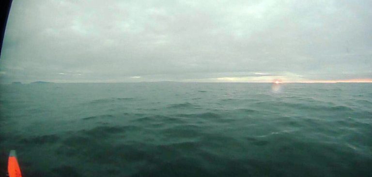
In the early hours of August 1 bound for a voyage of data collection, one of two remotely operated unmanned sailing vehicles snapped this dreamy dawn photo as it sailed through the choppy Bering Strait. In the distance are the islands of Little Diomede in the United States and Big Diomede in Russia.
“They handled the tough conditions without a hitch,” said Jessica Cross, a NOAA scientist who is using the unmanned systems to study how the Arctic Ocean is absorbing carbon dioxide from the atmosphere.
Fifty-eight miles at its narrowest, the strait that separates Russia from Alaska is no easy passage, especially for a mere 22-foot long sailing drone. Not only do the straits present fast and rough currents, but such a small craft must avoid larger vessels and shoals.
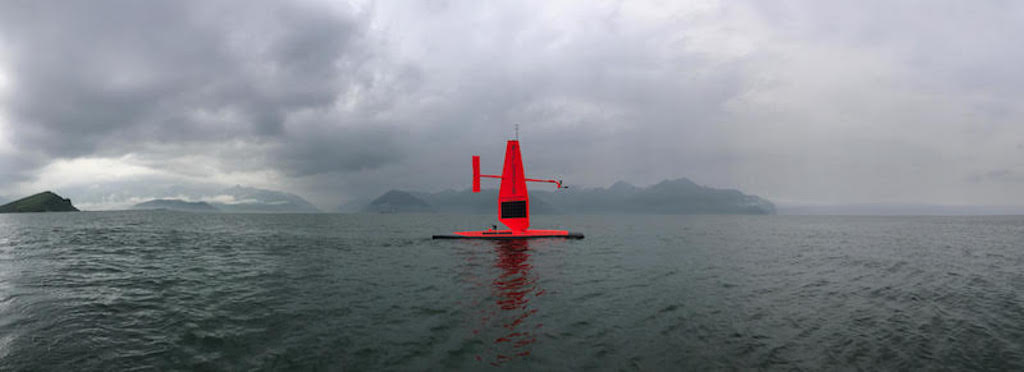
NOAA saildrones prepare for launching from Dutch Harbor, Alaska, July 2017 (Saildrone Inc.)
“This is a real game changer for NOAA’s ability to monitor the rapidly changing Arctic environment,” said Jeremy Mathis, director of NOAA’s Arctic Research Program, who watched the Bering Strait crossing from his smartphone in Washington, D.C. “Even five years ago, we could not have imagined a vehicle with this capability and endurance. I believe it will become a workhorse of our sustained Arctic observing system.”
For More Information: